George Washington National Forest is less popular than the nearby Shenandoah National Park, but still as stunning. The famous Blue Ridge Parkway runs directly through the mountain ridge, but I opted to drive down I-81 because it is much faster. As a result, I have to climb and descend over the mountain to get to the other side, where Crabtree falls sits. The twist and turny mountain road is a little bit hard to drive, and I would stay clear during bad weather or at dark. It is drizzling a little, but all clear by the time I arrived at the parking lot. It might be a Saturday, but it is late in the afternoon so the crowd is light. I manage to get a nice parking spot, the closest to the trail.
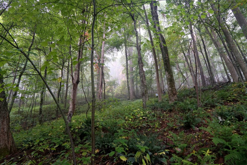
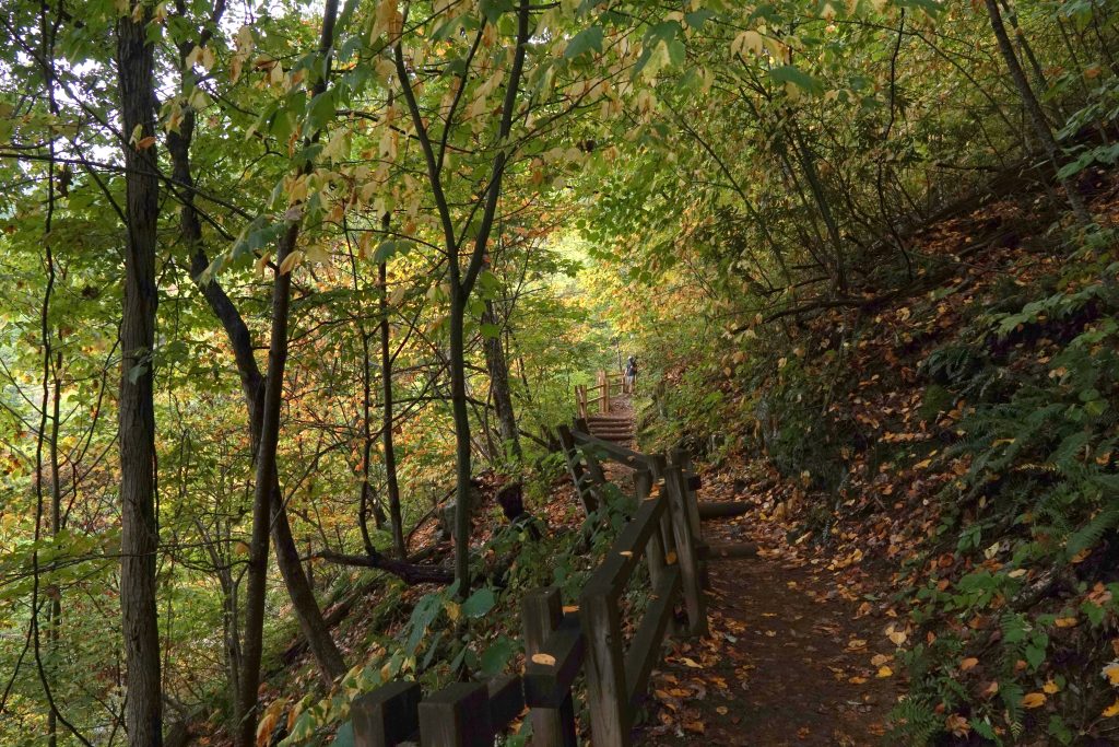
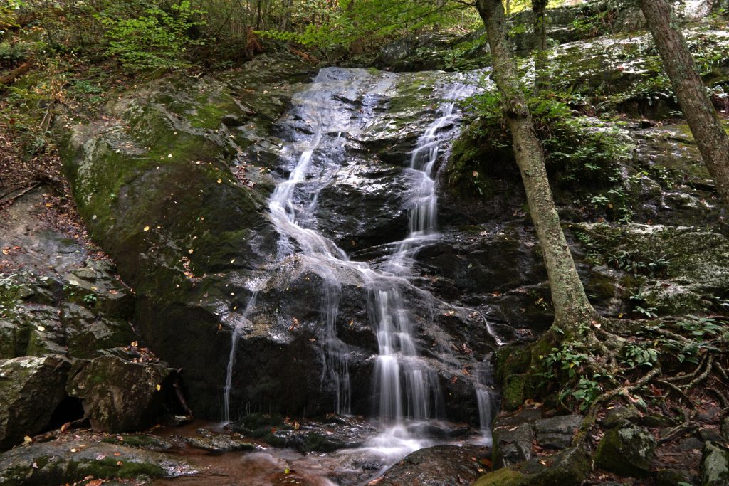
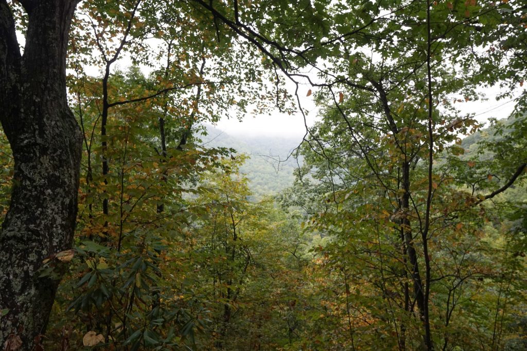
The bottom of the fall lies meters from the parking lot. The 1.7miles trail get you to the top, but the steep incline makes it difficult past the 3rd view point. The first three looks similar even though they are on different heights. Being a cascade fall divided into 5 sections, it is not as impressive compare to free falls like Yosemite falls. With that said, the total drop is close to 300 meters (1000 feet), which is very tall. That’s also the reason why hiking to the top cascade (last view of the fall) is so strenuous. The zigzag trail make climbing a little easier, but the loose rocks and tree roots make it slightly dangerous without trail shoes – and many hike up without one. The surrounding area is covered with trees, and would be pretty if I arrived about a month late for the autumn foliage.
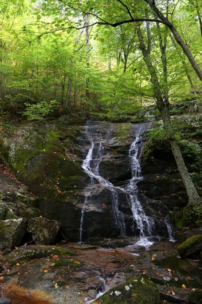
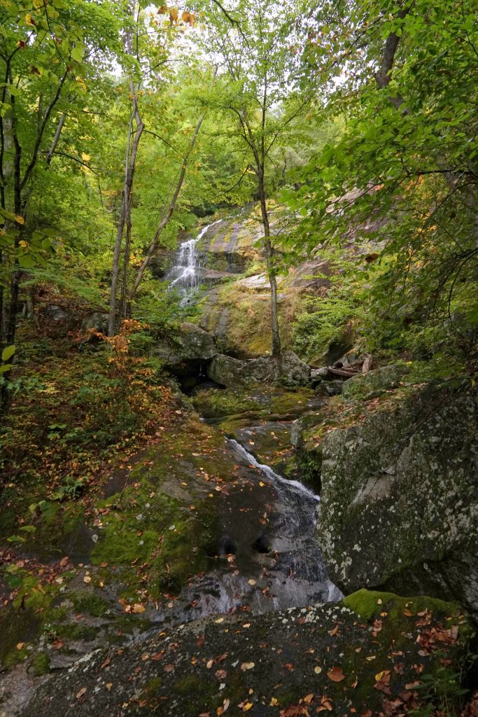
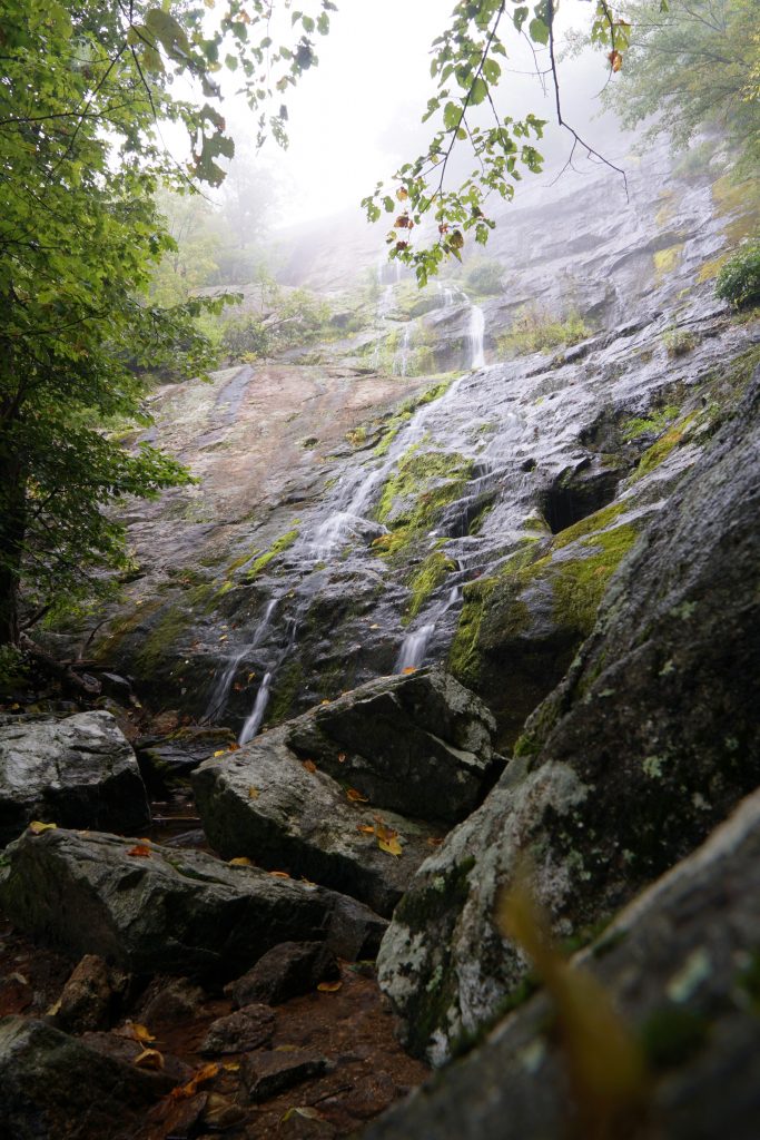
The forest service maintained the trail and built a few view points along the falls, but they do not stop people from reaching the falls. Signs prohibit visitors from deviating from the main path, but people generally do not listen. There have been 29 people who have fallen to their deaths on the rapid (and slick) waterfalls, and who knows how many more have been injured. I did walk to the water edge at the “last view point”, and the rocks were mossy and slippery. I would not recommend going into the water, at all. The top view features the highest fall and look the most impressive, and the cloudy day gave it a mysterious look. Recommend it to all who can make it to do it. It took me about an hour to go to the top, and 30minutes back to the bottom. Just be careful not to leave too late, as the location of the fall in the valley and the tree cover reduces visibility even in early afternoon. Awesome roadside attraction if someone is on the I-81!
Date: Sep 14, 2019
GPS coordinates: 37.850833°N 79.078333°W
Fees: Free for anybody with the annual interagency pass (aka National park pass), $5 otherwise. Self-service. There is a porta potty at the parking lot.