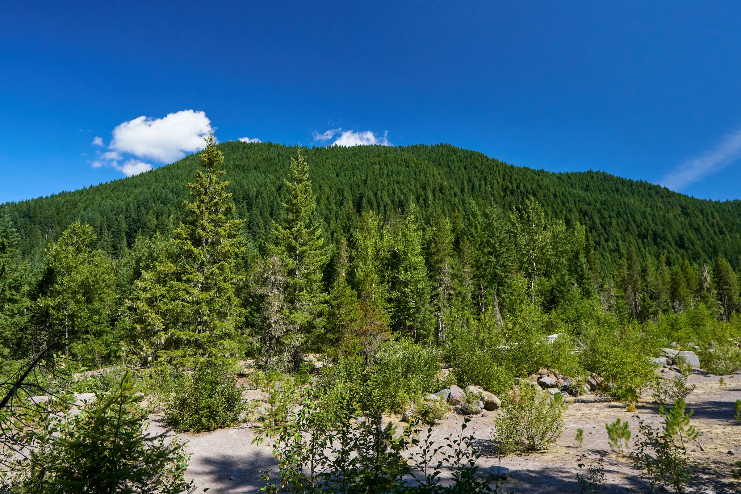
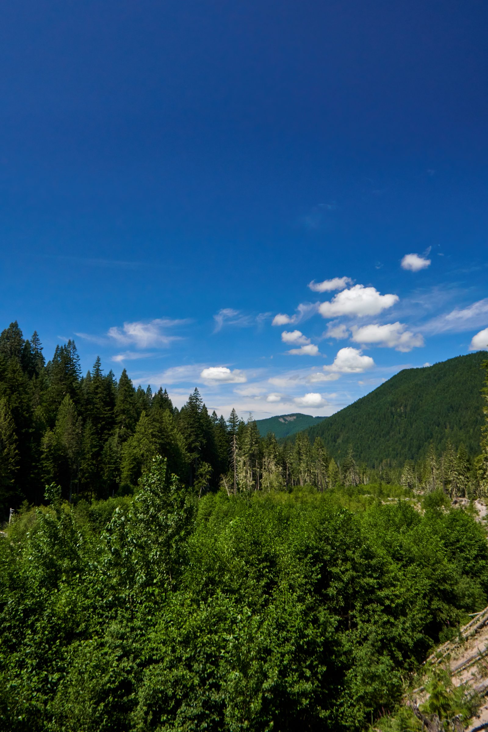
How should we dedicate public spaces? That’s the hardest question for all society, which also reveals the priorities they each have. The first nations, at least in North America, treated all land as sacred and belongs to earth. Many folk religions also remind their believers to keep sea and mountain unpolluted to prevent angering the gods. Most great civilizations, on the other hand, denoted large swamp of lands to the nobles and kings, as they need neither the money nor the resources, many places still left untouched, and some are even kept for their own leisure. It is only in republics and democracies, where everyone and anyone has a say in how to utilize every single inch of the land, tends to use up every single acre possible to appease all. To prevent the domestication of the continent, the United States began to protect some land at the turn of the 20th century. It was a difficult task to hold onto land, but a debate on how those land should be used for all. That question divided naturist John Muir and many other conservationists. To the world, Americas best idea was not just beautiful places owned by one agency, but a bureaucratic nightmare that is managed by different government agencies, each with their own agenda. The most famous of all is the National Park Service, which tries to manage the fine balance between bringing human enjoyment while letting nature be wild. National Forest, on the other hand, focuses on extracting resources at a sustainable rate, and would not be hesitate to shut down attractions that could be use for other purposes. Mt. Hood, unfortunately, is part of the National Forest system, rather than the more visitors friendly national park. Located slightly off trail from the fame Pacific Crest Trail, Ramona Falls was one of the most visited sites in Mt. Hood National Forest. After a tragic incident in 2014 where the bridge across Sandy River was destroyed, the forest service had opted to not rebuilt the bridge.
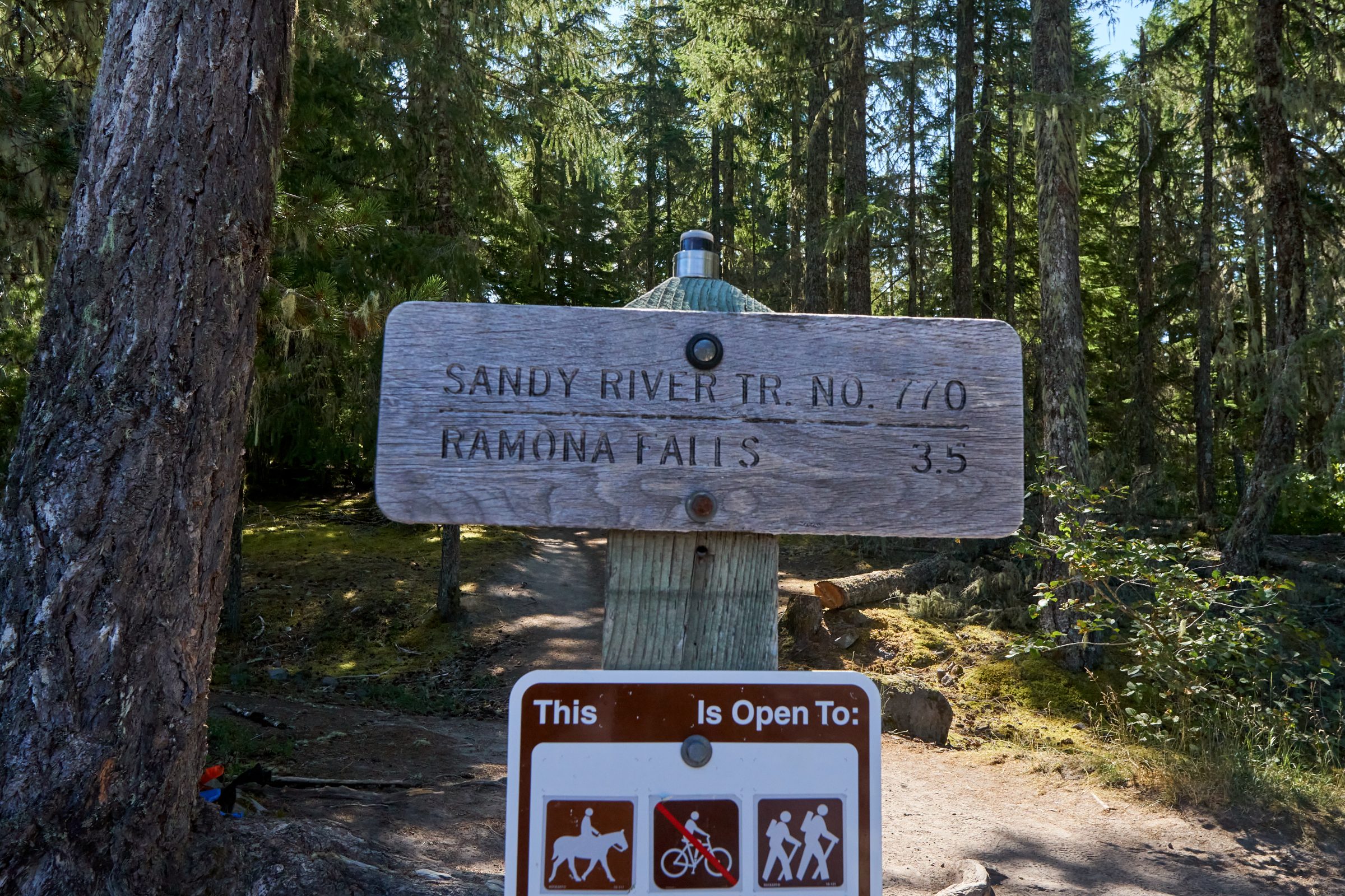
Ramona Falls trailhead is located just outside of Government Camp on Highway 26. The road narrows quickly once we turn into the final stretch, and parked below some shady trees along the side of the road. It seems like we are early enough to beat the crowd with the lack of vehicles. After a few minutes to get ready, we hiked towards the end of the road, only to realize that there is a large car park. The trail to Ramona Falls is still accessible – after all, it is part of the PCT. However, the NF brushed their hands of everyone’s safety concern, and one has to cross the fast flowing glacier river by their own abilities. We receive the wilderness pass at the trail head, agreeing that we should expect no help if things get rough. (It is self-issued, basically signing your names on the dotted line, and drop the receipt back in the box). On one hand, it is annoying that the managers decided to take the easy way out on this by not supporting it for more hikers. On the other hand, the final decision is probably a compromise between accessibility and preventing more accidents. By rebuilding the bridge, it will inevitable attract more hikers of all abilities; making it a “difficult” river crossing will be a huge deterrent to most.
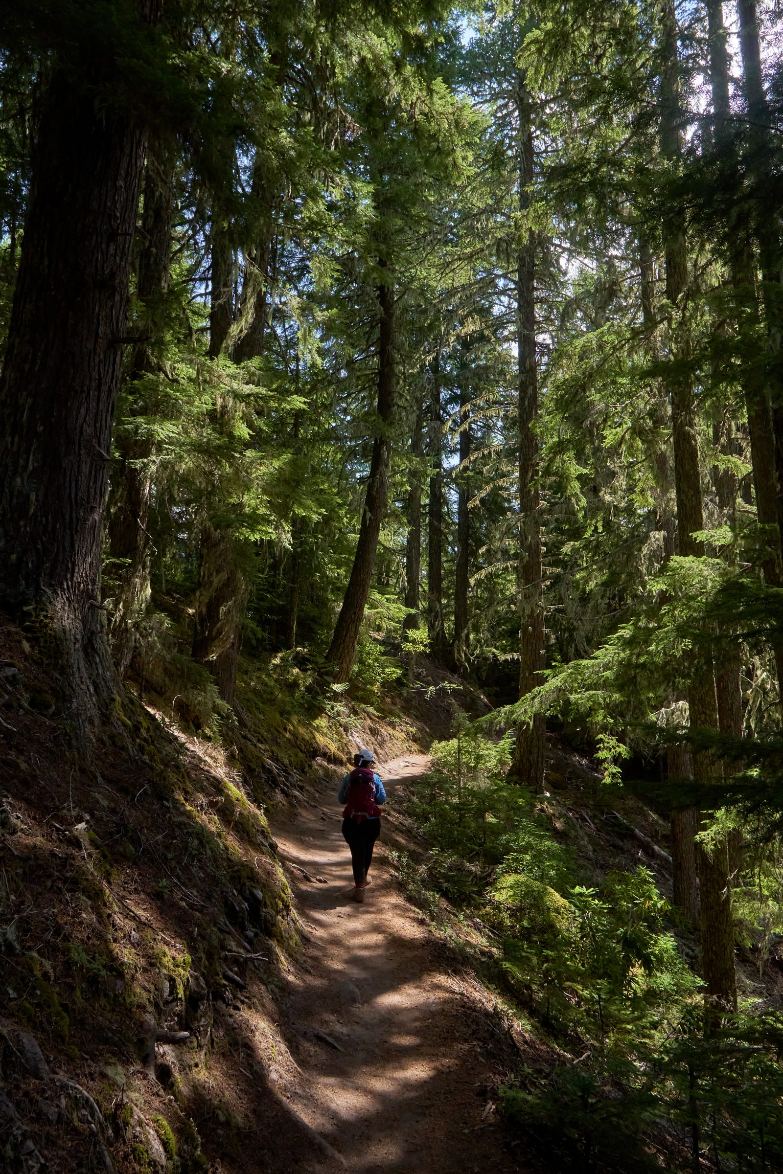
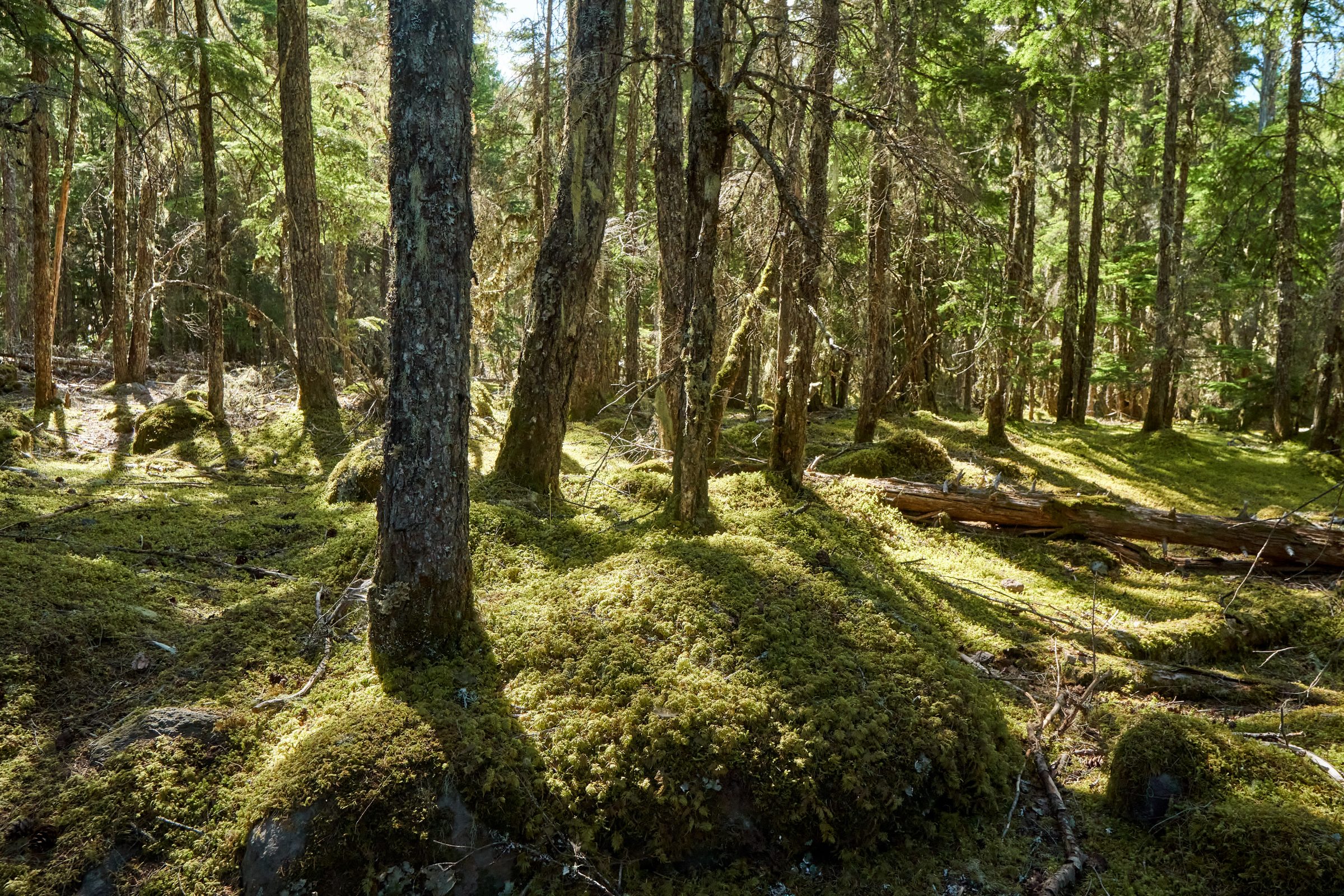
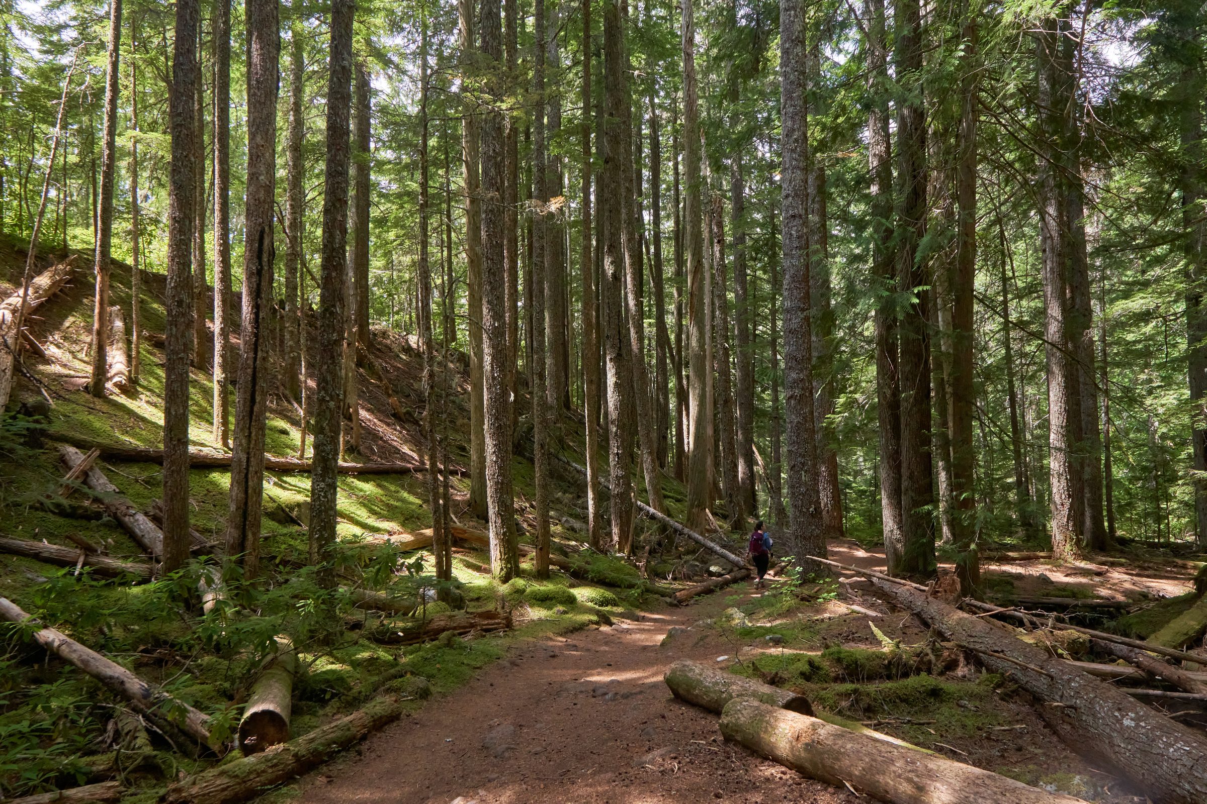
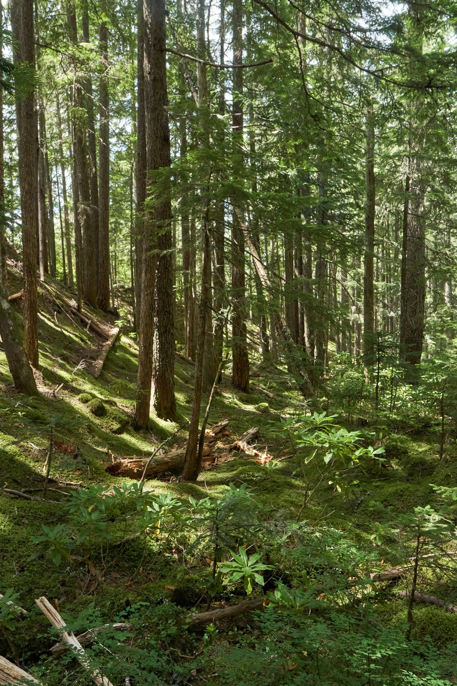
The hike to the river crossing is rather flat. Even though we are walking in the “wilderness”, there is nothing wild here. The trees were trimmed and cleared decades early, reminded me of a typical city park. Moreover, the river crossing does not seem to be doing its job with the continuous stream of hikers, of all shapes and sizes. Families with young children. Large group of walkers. Different breeds of dogs. People who walk in sanders and slippers. The waterfall had made this trail such a popular hike. The weather is bearable under the shade, but there aren’t much shade along the trail. Most hikers do have a mask on hand (which is not the best place to have them), and the trail is wide enough so everyone has plenty of space to physically distanced from one another. We strolled along the Sandy River until we reached the river crossing.
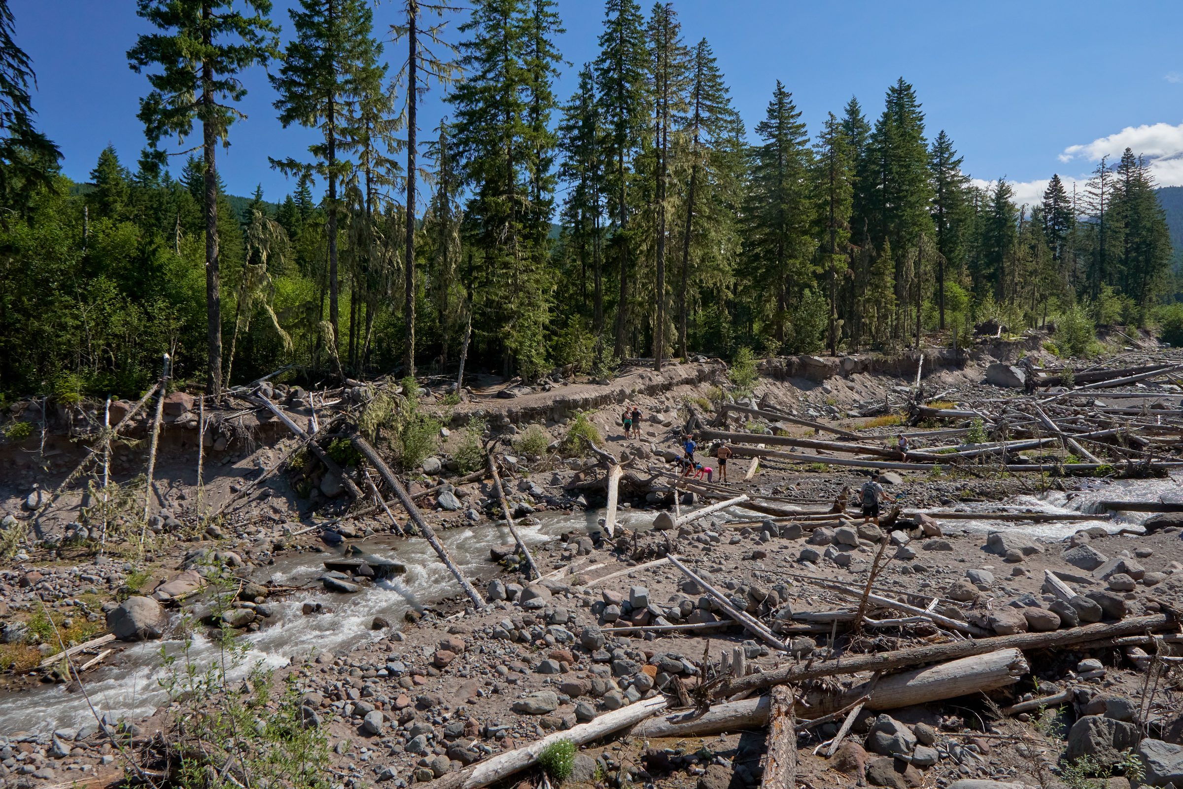
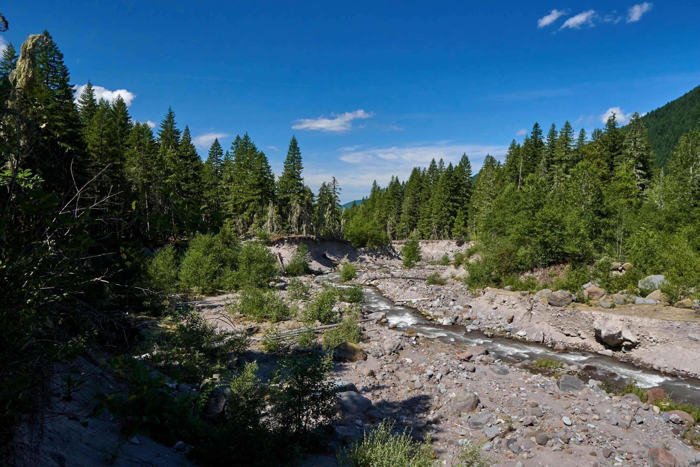
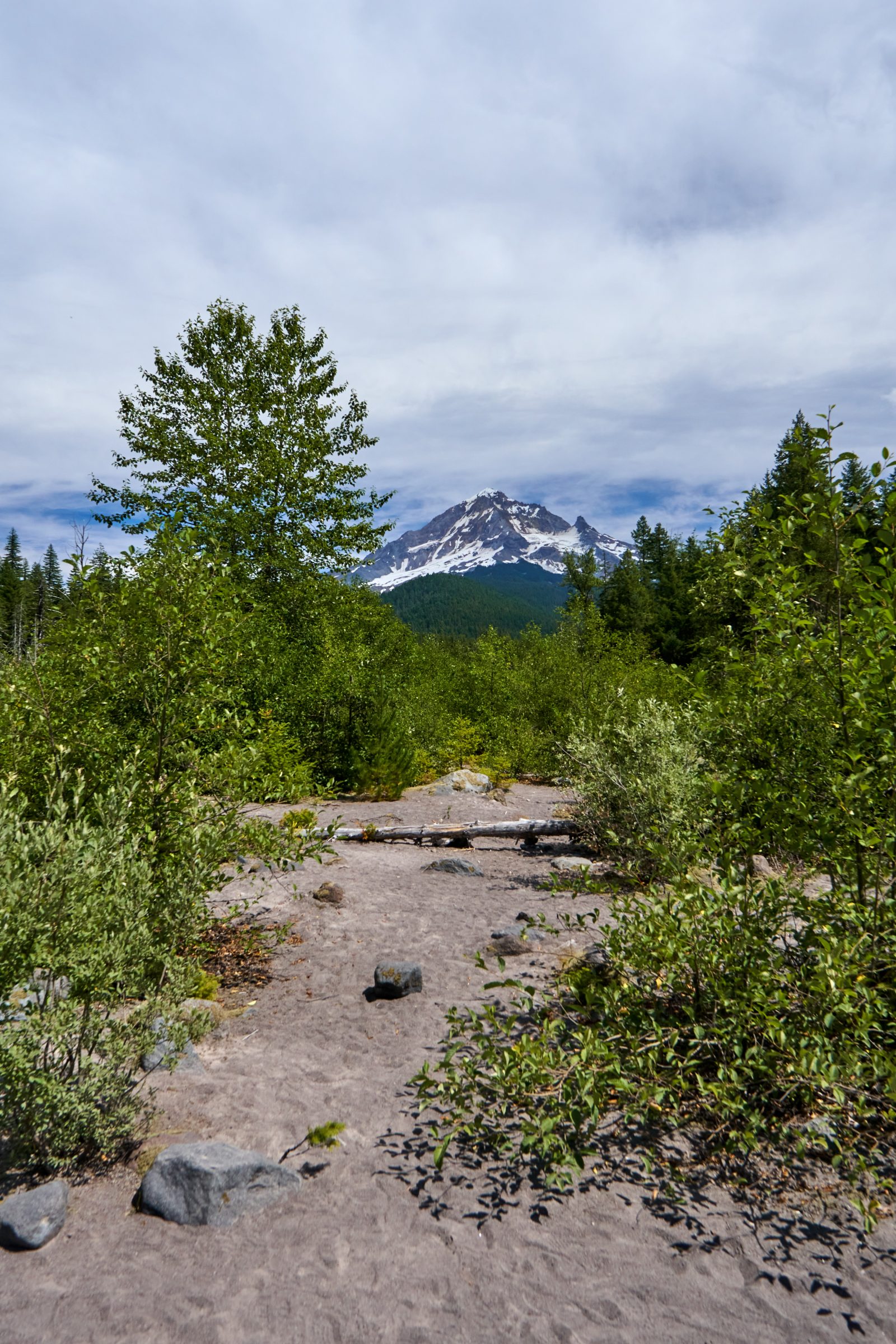
From the internet and notes left on the official website, the glacier river crossing is difficult and advise against to all. That is no accounting for the season – by August, the ice has melted and left. The river still has a strong flow, but it will be surprising for most to be swept away. Moreover, large tree trunks have been used to cross the river. I wonder if these trees were left here intentionally, or new trees fell each year and landed here. The temporary bridge made the crossing comfortable, though everyone has to take turns to get to the other side. We spent some time here to enjoy the only view of Mt. Hood, while cheering on anxious dogs who are too afraid to walk on the tree trunks. The water level in the river is very low now, barely filling the lowest point, but the river banks are much taller. I do not know if that is either due to erosion, or glacier river does get extremely high volume of water. In either case, it is best not to visit during dangerous season.
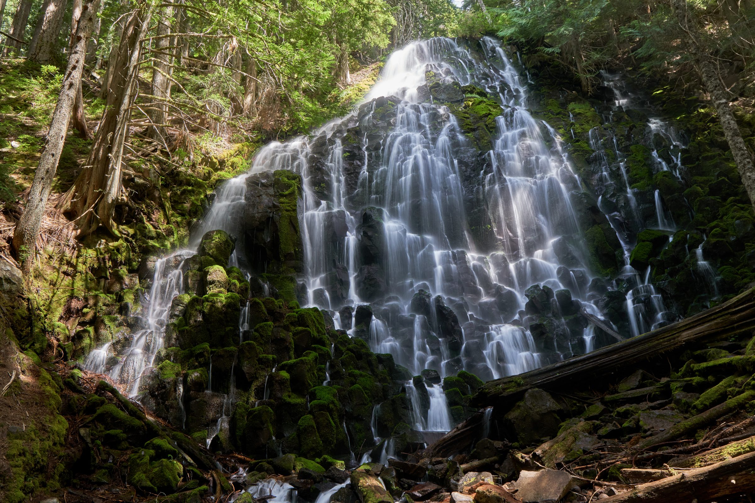
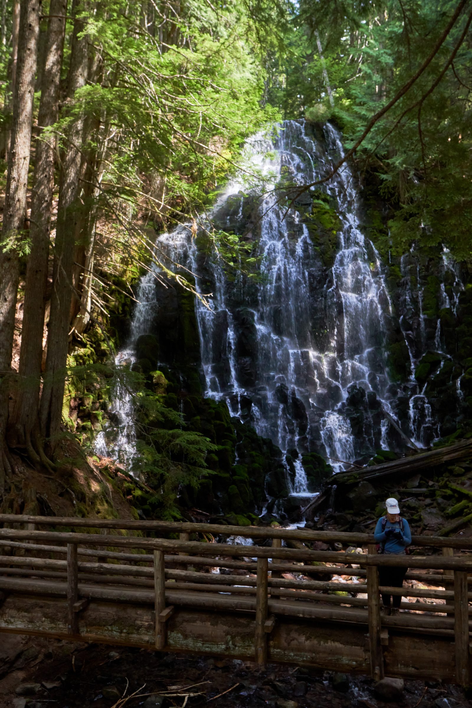
We continued to on the last part of the hike, which is a loop that crosses the PCT. Our plan is to go clockwise but we could never find the split. Instead, we just follow everyone else, along the steeper and less interesting part of the loop. The great news is that we get that rather quickly, and the view of the fall is hidden, even when we are just steps away. It is always curious how pioneers and first people find these places. I guess they enjoy exploring and finding new gems in the wild. The Ramona Falls is gigantic and unlike any other falls that I have seen. The water cascade down “a large black rock” (not a geologist, this is scientific description), creating a large contrast between the water and the rock. We choose a nice log and enjoy our packed lunch. The waterfall also creates a jet of cool air towards us, which made us cold soon after. The crowd is large by the viewing around but everyone spreads out far enough. There is even a nice bridge build across the base of the waterfall, reminiscence of a time where more hikers visit this falls.
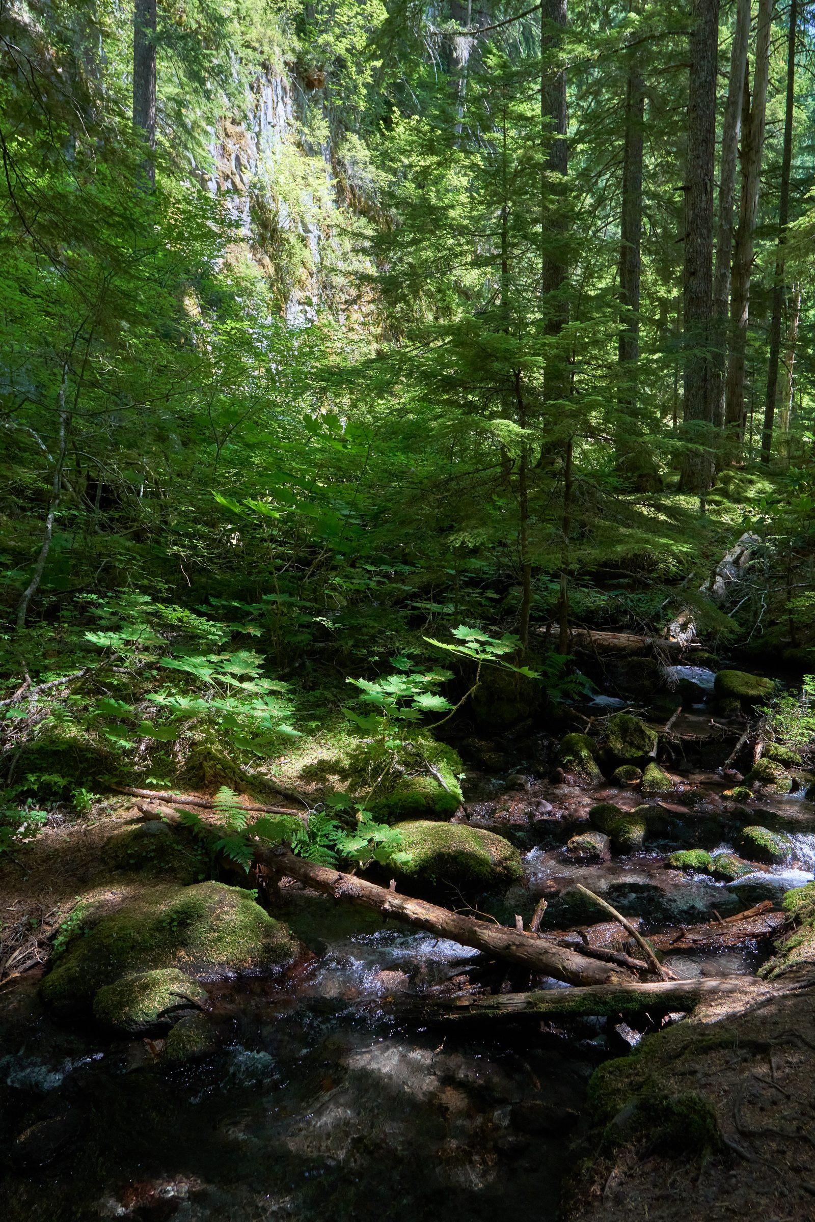
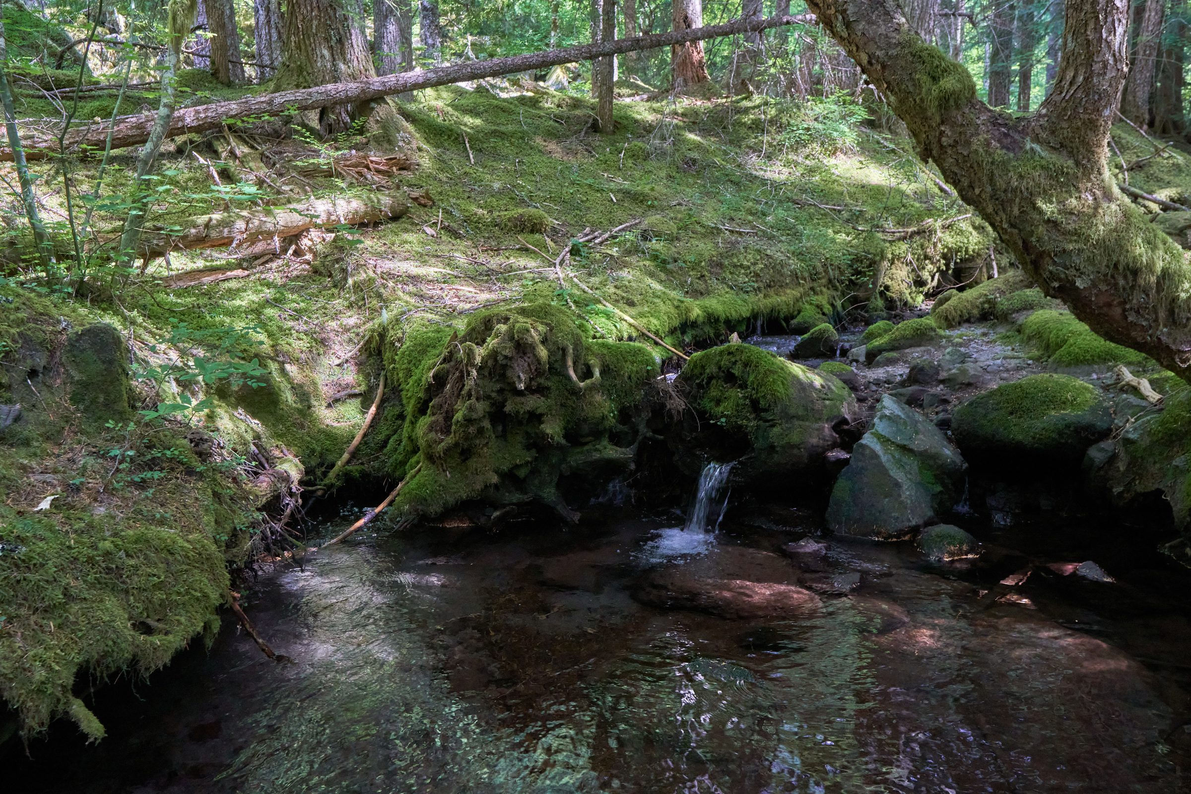
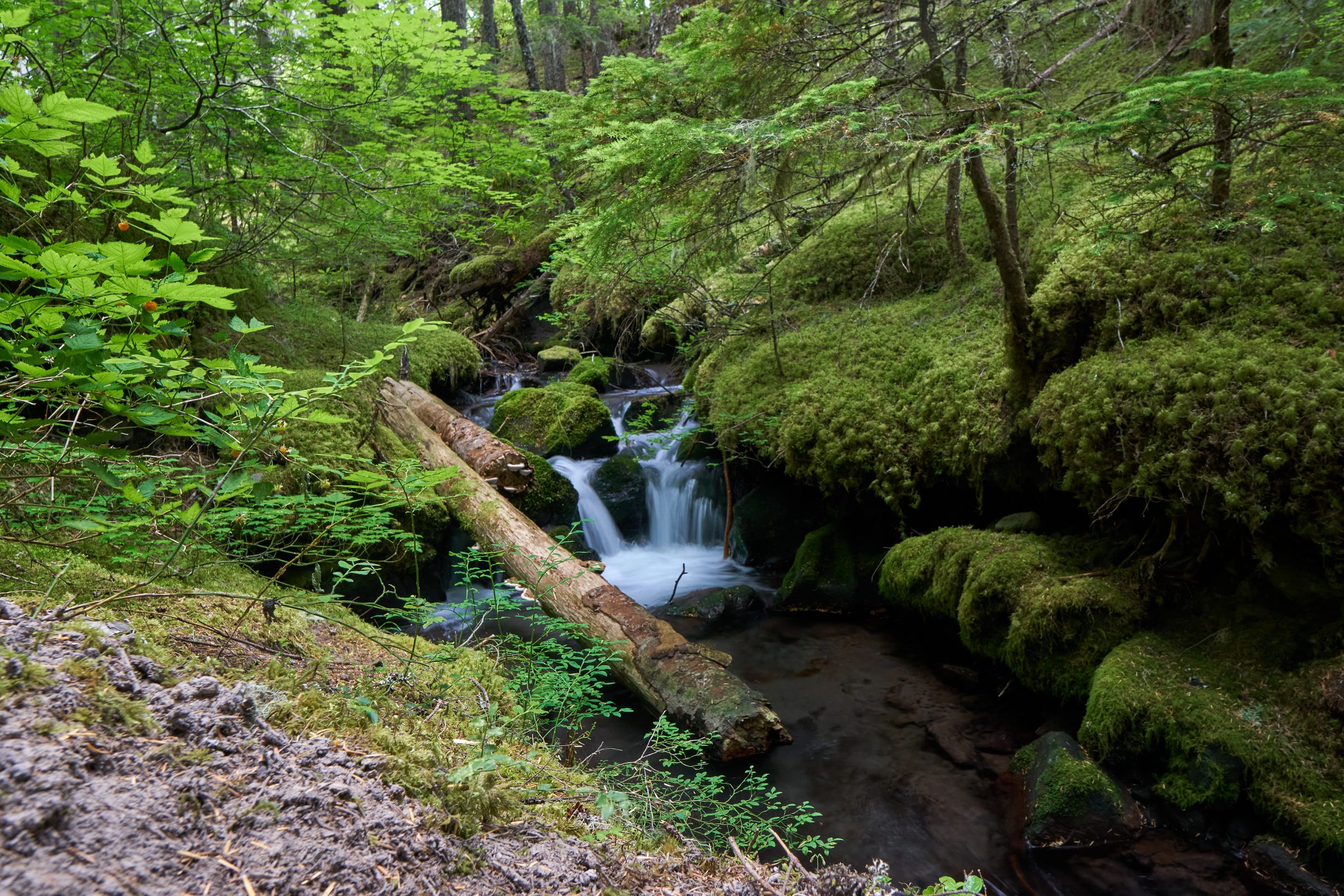
The final stretch back to the trailhead is simply gorgeous. A quint walk in the park filled with mosses and creeks. Even the rock formation next to the trail seems to be made from marble. There are so much packed in this little stretch. We stroll slowly through this portion before making it back to the river crossing. By now, the crowd has disperse, so there is enough time to appreciate balancing on a log. Overall, the hike is very family friendly when the river crossing is not challenging. There are no significant obstacles on route, both in altitude and rough terrains. This was the reason it was well liked and well traveled in the past. In my opinion, trails shouldn’t be created just to traffic more visitors, but this was an established route. Constructing a large suspension bridge across the mighty Sandy River would be appreciated by many who wouldn’t risk their lives. Especially for the expensive view of a unique waterfall.
Visited: August 2nd, 2020 at 10am.
Address: Muddy Fork Rd, Rhododendron.
Website: https://www.fs.usda.gov/recarea/mthood/recarea/?recid=53600